OREGON STATE UNIVERSITY
Mission Planner

Mission planning takes careful consideration of the desired imaging objectives, aircraft endurance, weather conditions and sensor specifications.

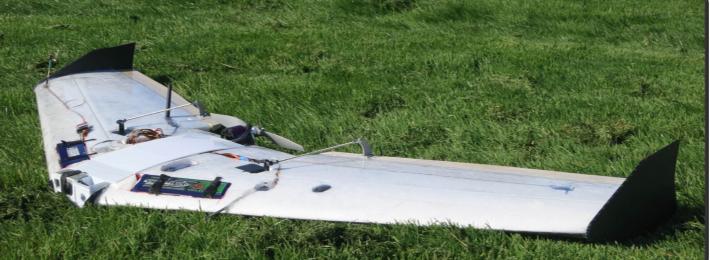
Beaver IV

Projects covering large areas in unstable air masses are the specialty of this airframe.  No runway required.

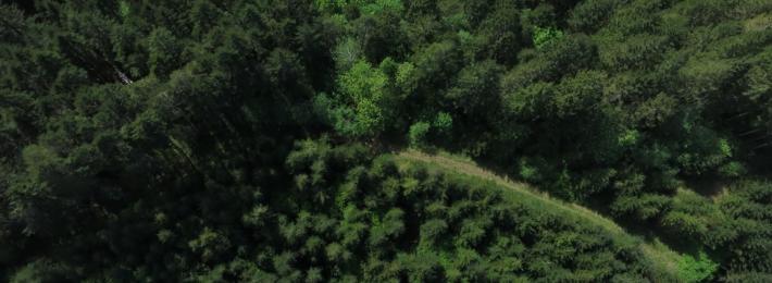
Forest from Above

At 400' above the surface the heterogeneity of a forested landscape becomes apparent.

Gwaihir

Heavy lift, single rotor, electric powered work horse for heavy payloads.

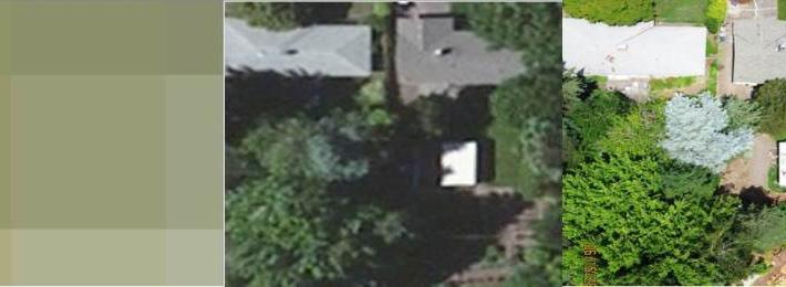
Satellite Imagery Comparison

Notice the resolution and resulting detail differences between identical spatial extents imaged from Landsat 5 TM, a commercial aerial survey and a OSU AIS lab Beaver 3 at 400’ AGL. (from left to right).  GSD on AIS lab image is 1.4”.

WS IR Mosaic

IR Mosaic of Warm Springs ponderosa pine forest site with high frequency fire return interval.  This is a mosaic of over 300 images taken between 400' and 600' above the ground and processed in Agisoft PhotoScan

Vineyard
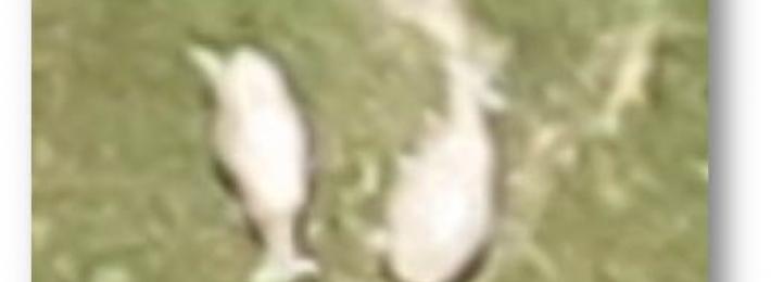
Sheep Detail

High resolution images yield extreme detail on sheep imaged from a sUAS 400’ above the ground.

AIS Lab

The Aerial Information Systems (AIS) Laboratory conducts research in the use and development of unmanned aerial systems (UAS) for remote sennsing. We are dedicated to flying UAS for a variety of research applications in disciplines including forestry, agriculture, fish and wildlife, and search and rescue operations. The AIS Lab is housed in Peavy Hall on the Oregon State University Campus.